What is a Geospatial Information Scientist?
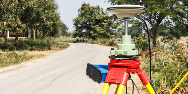
A geospatial information scientist is someone who studies and analyzes how people utilize the physical space around them. They help to shape a city, state, country, and ultimately the world in which people live. He or she uses various computer software programs and tools such as geographic information systems, global positioning systems (GPS), and other remote aerial technology sensors to gather geographic information.
What does a Geospatial Information Scientist do?

Geospatial information scientists may specialize in military, agricultural, mining, retail, urban planning and health care applications, among others. These specialists produce maps, tables, reports, and data layers using GIS technology.
Their work allows decisions to be made as to the best place to put a new school, daycare centre, hospital, or bridge. For example, they may study the spaces that exist between two cities, towns, neighbourhoods, or even streets. They measure and study how the usage of this space changes over time, which helps them determine how things like population, weather, climate conditions, and resources affected these changes.
Using geographic information systems or GIS technology, they create and produce tables, data, reports, and maps. They then use the reports to create schedules and budgets for projects related to the data. They keep up on current GIS systems and formulate plans for possible future upgrades to the system. Geospatial scientists also provide expert technical information to businesses and other clientele while discussing possible solutions and other operational problems that may have already or potentially existed. They also provide technical support for the creation of mapping software for geographic information systems.
Creating software, programming, debugging, and performing data analysis on GIS is also the job of a geospatial information scientist. They often instruct and manage technicians and all other related personnel in GIS procedures. A geospatial information scientist will also gather and assimilate all collected geographic and cartographic data that may include all potential green spaces, potential and current sources of pollutants, and utility locations for inclusion into maps. They also assess, watch, and model resources of the environment.
What is the workplace of a Geospatial Information Scientist like?
Public sector opportunities include work in areas such as public administration and policy analysis; public safety, criminology, military intelligence, emergency preparedness, management; environmental management; or urban, regional, social service and transportation planning. Businesses also are likely to eagerly recruit GIS graduates, especially companies focused on marketing; site selection, logistics and real estate; or resource exploration (including petroleum), and others.
Geospatial Information Scientists are also known as:
Geo-Spatial Information Scientist
Geospatial Scientist